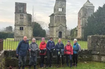
Photos by Users on AllTrails
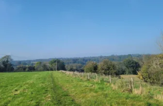
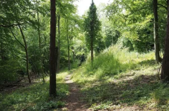
Chinthurst Hill and The Grantley Arms Walk is a loop trail located near Guildford that offers the chance to see wildlife and is rated as moderate. The walk begins with a loop up and around Chinthurst Hill, with its beautiful folly tower, bluebell woods and outstanding views. You are taken on a journey on part of the Downs Link including a stretch of a disused railway and with lovely views of the surrounding Surrey Hills.
Distance: 6.4 km
Time: Est. 2 hrs
Route Type: Loop
Elevation Gain: 163 m
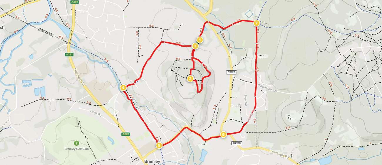
Waypoints
1. Start to Chinthurst Tower
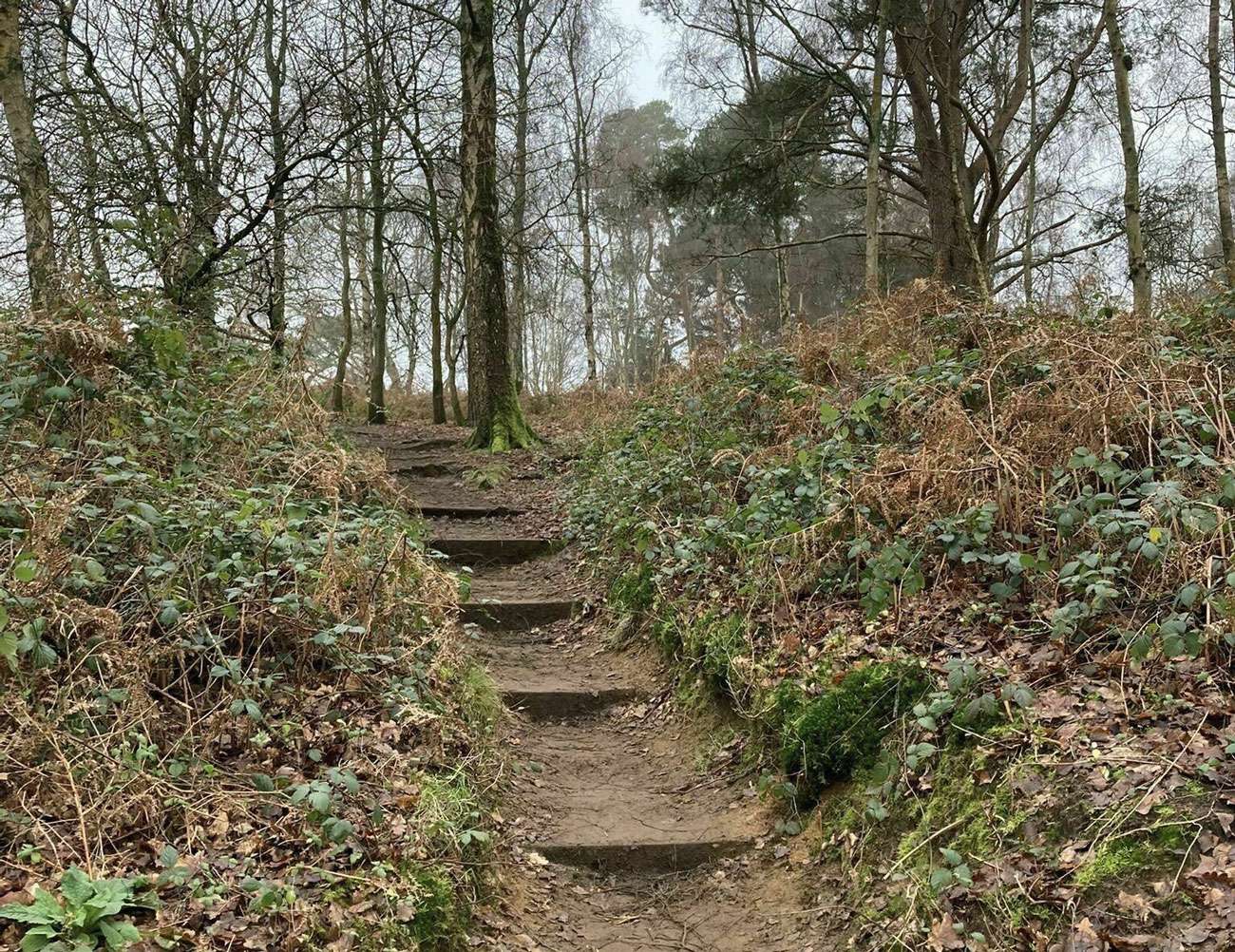
Walk to the far end of car park where you will see two low wooden vehicle gates. Pass through the gap to the right of these and then pass a wooden noticeboard on your left. Just a few paces later you will reach a staggered T-junction with a tree-lined path. Bear left to join this and after just 20 metres, you will see a fingerpost and waymarker post. Go straight ahead marked with a green arrow. This fenced path climbs steadily to reach a fork. Take the right-hand branch, up a flight of steps, to reach a waymarker post on your right. Do NOT turn right here, instead take the path at about 11 o’clock. This path swings left and then right, leading you up broad wooden steps. The path begins to climb more steeply, up more steps with a handrail on your left. At the top of this flight, turn right onto a path climbing more gently. After just 30 metres, turn left through a kissing gate and follow the path with steps, winding uphill. At the small crossroads with a waymarker post, go straight ahead and this will lead you directly to the tower and viewpoint on the top of Chinthurst Hill.
2. Chinthurst Tower to Downs Link
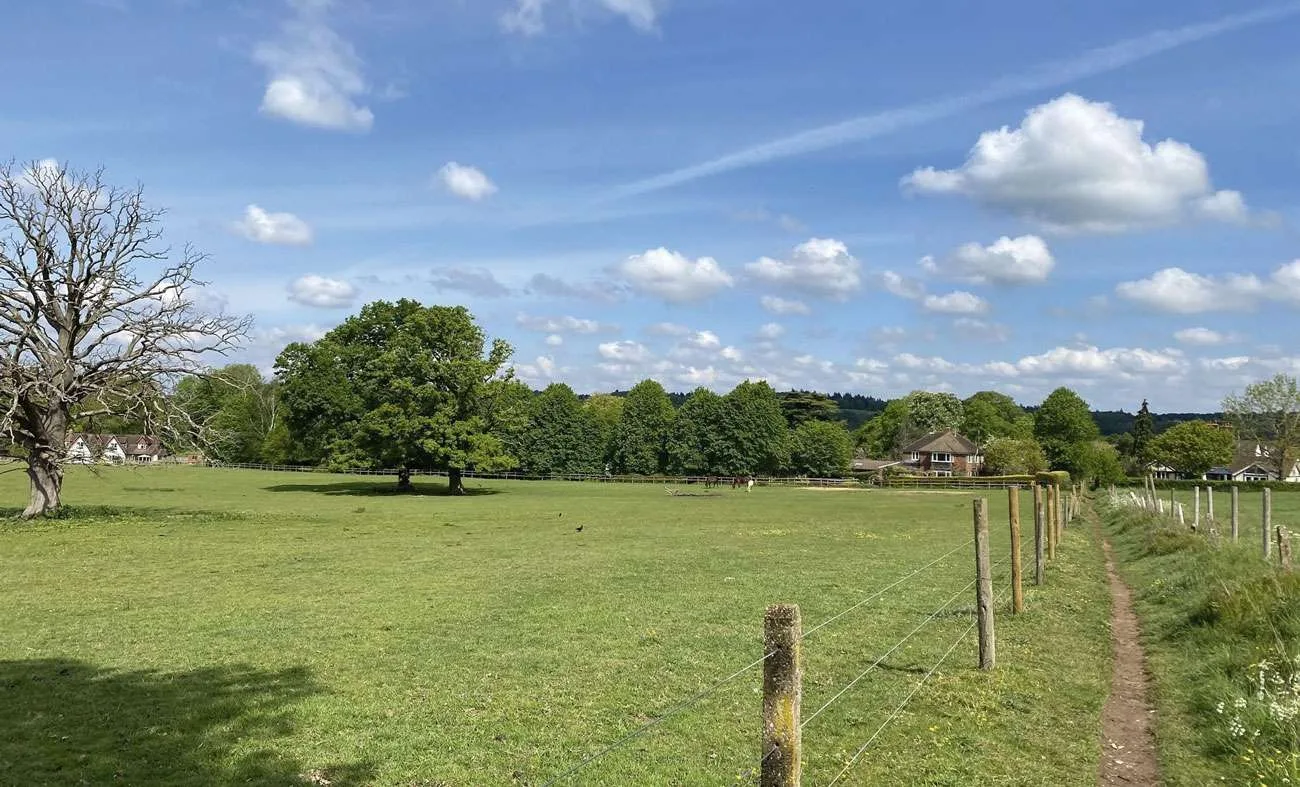
Stand at the viewpoint with the tower behind you. Glance to your left and you will see a waymarker post. Walk ahead to follow the direction of this green arrow. Follow the subtle grass path to meet the tree line ahead, then turn right to join a grass and stone path leading you more gently downhill. The path leads you down through the trees and then swings sharp left to pass through another kissing gate. Follow this next stretch of path with coppiced woodland sloping down to the right and a wire fence on your left. Ignore a kissing gate on your left and, 30 metres later, turn right onto the path marked with a green arrow. Across the paddocks on your right, you will have a good view of the United Reformed Church in Wonersh Common. Follow this path steeply downhill. Towards the bottom, the path swings left and then undulates gently along the bottom edge of the woodland. You will come to a minor crossroads. Turn right here and join the fenced path that you used to access Chinthurst Hill. As soon as the wire fence on your left ends, turn left onto the Downs Link bridleway.
3. Downs Link to Old Rail Path
Keep ahead on this Downs Link bridleway, lined with trees and fences. You will come to a T-junction with a stile on your right. Turn left here and follow the sunken path leading you through a tunnel of trees. The path continues with a hedgerow on your right and horse paddocks on your left. At the end of the track, you will pass the entrance for Southlands stables on your left before reaching a crossroads. Go straight ahead into Tannery Lane. Turn left into Drodges Close and then turn immediately right onto the raised path, which keeps you away from the traffic. Just before the bridge, follow the bridleway sign to fork left away from the road. 20 paces later you will come to a fork. Take the right-hand branch which leads you over an old arched bridge to reach a T-junction with an old railway path. There is an old railway bridge on your right.
4. Old Rail Path to Station Road
Turn left and follow this former rail line. Stay with the main surfaced path and this will lead you through the site of the old Gosden Aqueduct. Stay with the surfaced path for about 800 metres, leading you into the outskirts of Bramley and passing through the old Bramley and Wonersh Station. Just beyond the station, pass through the white gate to reach the junction with Station Road.
5. Station Road to Grantley Arms
Here we leave the Downs Link. Turn left along the pavement, and swap to the right-hand pavement as soon as you can. Beyond the houses, the pavement leads you over the River Wey via Wonersh Bridge. Stay alongside the main road, swinging right. Alongside Wonersh Hollow you are forced to swap back to the left-hand pavement. Pass Wonersh Church on your right and, as the road bends left, you will see an impressive red-brick gateway on your right. Almost immediately you will pass a second red brick arch, now the entrance to Wonersh Court. Follow the pavement leading you into the heart of Wonersh village. Swap to the right-hand pavement when you can and this will lead you to The Grantley Arms by the road junction.
6. Grantley Arms to Great Tangley Manor
Stand on the pavement in front of the pub, facing the round shelter in the centre of the road junction. Turn right along the pavement and, as you draw level with the pub car park, swap to the left-hand pavement with care. Where the main road swings right, follow the left-hand pavement forking into Barnett Lane. Follow this quiet residential street, soon passing the village common on your left. At the far side of the common you will be able to see the United Reformed Church once again. Simply keep ahead all the way to the end of Barnett Lane where you will reach a T-junction. Turn left for just 4 paces then cross over to turn right onto the footpath, marked with a fingerpost. This is just to the right of the bus stop and phone box. Follow this narrow path between hedgerows and then fences. You will emerge via a kissing gate alongside the entrance gates for Little Tangley Nursery. Turn left for about 12 paces and then, by the fingerpost, turn right to join a footpath into a small belt of trees. This path continues with fenced pastures to your right and beautiful views of St Martha’s Hill ahead. Continue between fenced paddocks and you will reach a crossroads of tracks in amongst several properties. Ahead are some of the complex of buildings that surround Great Tangley Manor.
7. Great Tangley Manor to End
Turn left at this point to join the vehicle track, a bridleway which is part of the Downs Link. Pass The Lodge on your left and continue ahead as the track enters woodland. 80 metres before you reach the T-junction with the main road, look out for a fingerpost on your right. Turn right to follow the narrow path through the woodland, signed as the Downs Link. You will emerge to a junction with the main road. Cross over with care and take the continuation of the Downs Link, a narrow path that runs immediately to the right of a house and its driveway. NOTE: This path can be quite boggy. If you find it impassable, you can return to the road, turn right (in front of the house) for a short distance then turn right into the Chinthurst Hill car park entrance drive. Otherwise, follow this (boggy) path ahead until you see the car park through the trees on your left. Keep ahead for a short distance further to a path junction, turn left and this side branch will lead you directly back to the car park where the walk began.
See more info on the walk at: www.alltrails.com