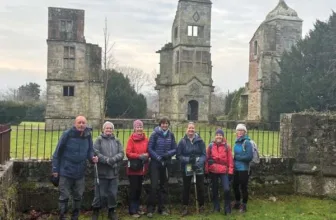
Photo by a User on AllTrails
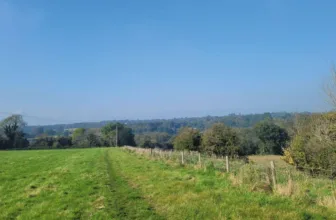
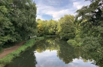
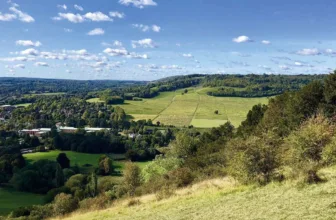
A loop trail located near Shere, Surrey, England that features a river and is good for all skill levels. The trail is primarily used for hiking, walking, running, and bird watching. There’s plenty of wildlife to enjoy along the way plus spectacular views once you’re up on the North Downs.
Distance: 4.5 km
Time: Est. 1hr 31 mins
Route Type: Loop
Elevation Gain: 179m

Waypoints
1. Start to Gravelpits Lane
The walk begins in the small courtyard directly in front of Gomshall Mill. From the courtyard, with your back to the pub, turn left down the side access road, passing over the River Tillingbourne. Follow the this lane, Goose Green, keeping close to the pub buildings on the left and passing the pub car park on the right and then passing between the village greens and properties. Follow the road as it swings right, ignoring the left fork which passes under the railway arch. At the end of this road you’ll come to a T-junction. Cross over with care to take the bridleway opposite, a small lane called Gravelpits Lane.
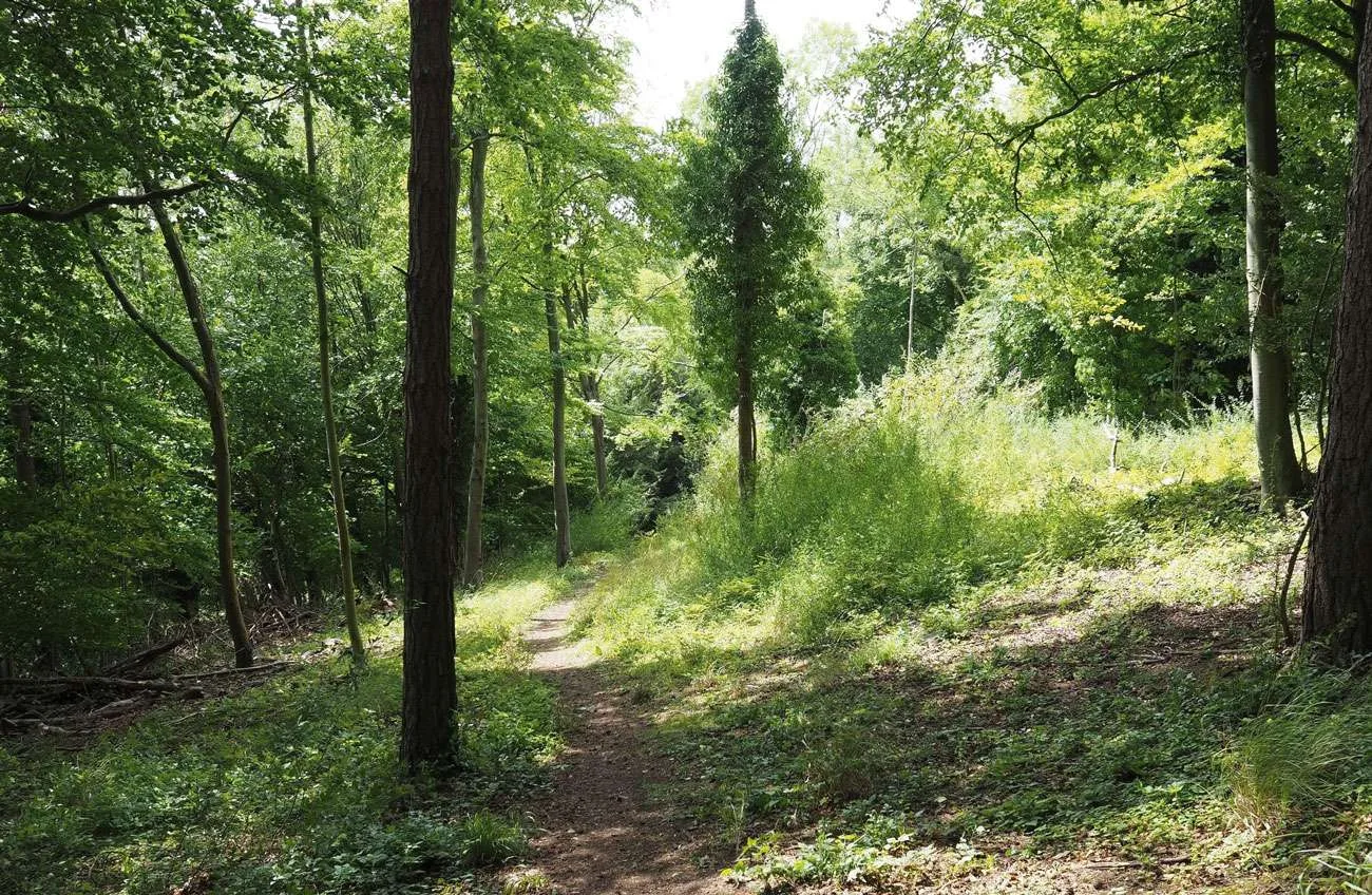
2. Gravelpits Lane to Shere Lane
Follow the lane as it swings left and then, immediately before Gravel Pits Farmhouse, turn right down the wooded bridleway. A few paces in keep right at the fork. Follow the narrow track between fenced fields for some distance. Look out for the spire of Shere Church which will soon become visible to the right. Ignore the fork off to the right, simply keep straight ahead and you will emerge to a tarmac residential lane. Keep ahead passing the Old Surgery and then the Rectory on the left, and then descend down to reach a T-junction with Shere Lane.
3. Shere Lane to Pilgrim’s Way
Cross over the road with care and turn right along the pavement. Follow the road descending down to the centre of Shere Village, crossing to stay on the pavement when necessary. You’ll cross the bridge back over the River Tillingbourne. Keep ahead passing the many shops and the Dabbling Duck deli and cafe. At the top of the road, turn left at the T-junction and then after just a few paces, turn right onto the tarmac track signed with a blue parking symbol. Pass the car park on the right and keep ahead to join the public byway heading steadily uphill between trees. Keep right at the fork and follow the track passing under the main A25 road. Once the other side, follow the pretty sunken ancient track, climbing and swinging right, for some distance. Look out on the right for a major track turning off, heading slightly downhill towards a wooden fence/barrier.
4. Pilgrim’s Way to Robertson Memorial
Turn right into Pilgrim’s Way and go through the gap in the wooden fence to join the wide sunken track heading steadily downhill. After just a short distance you’ll come to a major fork in the track alongside an information board and a large brick pillbox. Keep left at the fork, taking the wide grass track climbing steadily uphill. Soon you’ll come to the concrete Robertson Memorial.
5. Robertson Memorial to End
Keep straight ahead on the wide grassy ride. You’ll pass another pillbox on the left and from this point the paths become a little less obvious. Bear right on the track as it descends steeply and narrows. You’ll reach a small junction with a fence line visible ahead. Swing left here following the track steeply uphill and then, after just a few yards, fork right. Beyond the line of trees running to your right you’ll see a large fenced grass clearing. Follow the path as it continues to climb beyond the clearing and you’ll come to an obvious junction of small paths. Turn right down the first path on the right and follow the narrow path downhill and swinging left. You’ll soon pass a yellow arrow confirming you are back on a public footpath. The narrow path continues to descend through scrub and then through a section of mainly coniferous woodland. Towards the bottom the path runs with a pretty hawthorn hedge on the right. Soon afterwards you’ll emerge down a few steps to the T-junction with the A25. Turn left along the pavement passing a petrol station on the left. Follow the main village road and then cross over the road using the pelican crossing. Continue for just a few yards more to reach the Gomshall Mill for some well-earned hospitality.
See more info on the walk at: www.alltrails.com