Prospects of Polesden Circular is a 8.0 kilometer loop trail located near Holmwood, Surrey, England that features beautiful wild flowers and is rated as moderate. The trail is primarily used for walking, running, nature trips, horses and is accessible year-round.
Distance: 8 km
Time: Est. 2 hrs 44 mins
Route Type: Loop
Elevation Gain: 328 m
Walk Information:
An undulating walk from Ranmore Common in the Surrey Hills, through part of the National Trust estate of Polesden Lacey. There are good views of the Mole Gap, London and, on a clear day, the South Downs.
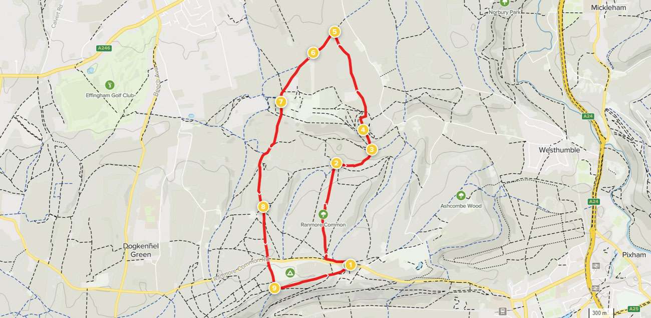
Waypoints
1. Start to Tanners Hatch Youth Hostel
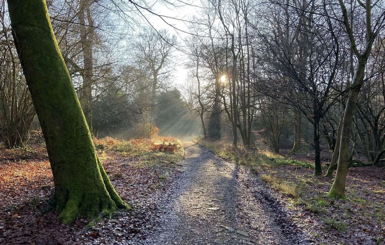
From the Denbies Hillside car park, cross over Ranmore Common Road with care and then turn left along the wide grass verge. You will pass the red Charlotte Cottage to the left and then Rose Tree Cottage and the tile-clad Fox Cottages on the right. Immediately after Fox Cottages, turn right alongside a vehicle barrier onto the track into woodland. Ignore the first path forking immediately left, simply stay on the track alongside the cottage on the right. In 40m, at the fork, take the left branch signed again for the Youth Hostel. Follow the woodland path which leads you steadily downhill for 1.1km. Eventually the track swings right to pass Tanners Hatch Youth Hostel on your left.
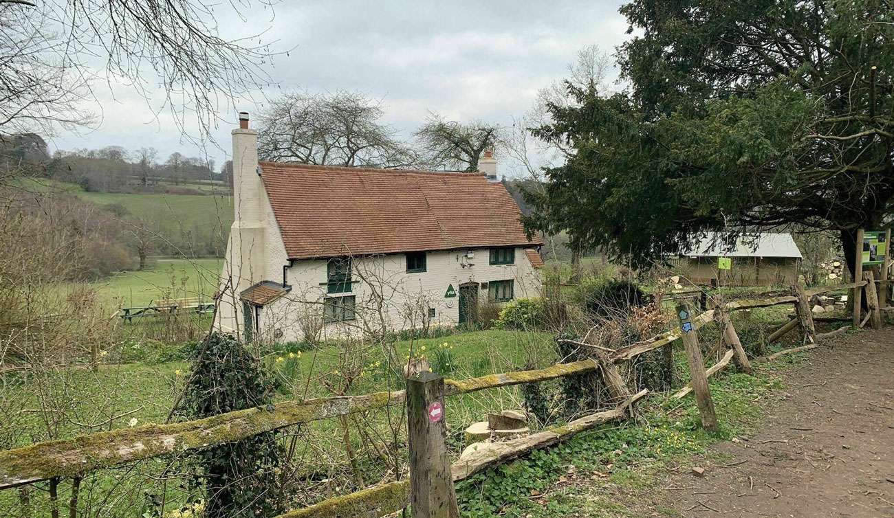
2. Tanners Hatch Youth Hostel to Valley Bottom
Take a moment here to admire the youth hostel cottage and the valley beyond. Continue to follow the track down to the bottom of the valley.
3. Valley Bottom to Stone Bridge
Stay on the main track as it swings left heading uphill between lines of coppiced hedgerows. After 100m fork left (signed to Connicut Lane) and the path leads you under an ornamental stone bridge.
4. Stone Bridge to Polesden Road
Beyond the bridge, continue on the main track still climbing. Some way along, the view opens up back across the fields on the right to the Mole Gap. After about 1.2km you will reach a T-junction with the road, Polesden Road.
5. Polesden Road to Entrance Drive
Cross over the road with care, go through the hedge gap opposite and then turn immediately left to follow the footpath running parallel with the road on the left. On a clear day, there are views of London to the right. At the end of the right-hand grass verge, you will reach the entrance drive for Polesden Lacey on the left. At this point you can take a detour to visit the house and gardens should you wish. To do so, turn left down the drive. Opening times are displayed by the memorial arch.
6. Entrance Drive to Thatched Bridge
To continue the walk, ignore the fork for the entrance drive on the left, simply keep ahead on the track signed to several cottages and farms. After 140m, at a signed junction of paths, stay on the main track which swings left heading steadily uphill. Stay on the track to pass Home Farm House and then continue downhill to join a cutting which leads you under a thatched bridge. The cutting was constructed in 1861 to allow vehicles to use this estate road without being seen from the gardens.
7. Thatched Bridge to Crossroads
Pass under the second bridge and, where the tarmac track turns left, keep ahead along a track lined with yew trees (signed as a public bridleway). After 300m you will come to a staggered T-junction. Turn right heading uphill on the tarmac track, noting the views of the Mole Valley. You will come to Yew Tree Farm on the left. A few paces after Yew Tree Farm, keep left at the fork. Keep left again at the second fork, staying on the main track. Further along on the left, you will find a small rest area with a bench. Take a moment here to sit and admire the lovely view back towards Polesden Lacey House. Some way further up the hill you will come to a short waymarker post with blue and yellow arrows, marking a crossroads of paths.
8. Crossroads to North Downs Way
Keep straight ahead on the main track and then ignore the next path signed left. About 50m later, fork right to join a bridleway marked with a blue arrow (not the blue NT arrow). Keep straight ahead across a stone vehicle track and continue along the bridleway through woods for 450m to reach a junction with the road. Cross the road with care and go along the track opposite. Pass the scout campsite on the left and continue downhill for 100m to reach a signed junction. Turn left here to join the North Downs Way (marked by an acorn symbol).
9. North Downs Way to End
Keep ahead on this path, passing through a wooden staggered barrier, along the edge of Ranmore Common woodland. After 700m, at a staggered crossroads, go ahead through a kissing gate into Steer’s Field. Take the left-hand of the two paths ahead, heading for Ranmore Common’s St Barnabas Church spire, noting the view of Westcott to the right and Dorking ahead. Follow the path as it swings left and pass through the gate to reach the car park where the walk began.
See more info on the walk at: www.alltrails.com
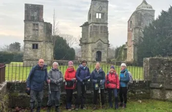
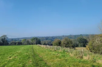
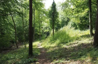
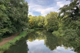
Photos by Users on AllTrails